Ba Den Mountain
-
Address: Ninh Phu Street, Ninh Son Road, Tay Ninh City
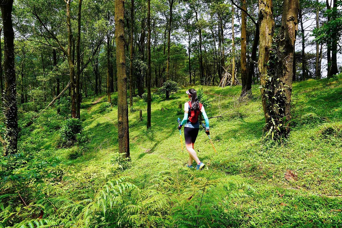
Ba Den Mountain is located in Tay Ninh province, about 85km northwest of Ho Chi Minh City center. This mountain not only possesses majestic and wild beauty but is also famous for its long-standing spiritual works. With an altitude of 986m and known as the roof of the South, this mountain is pursued by many hiking lovers.
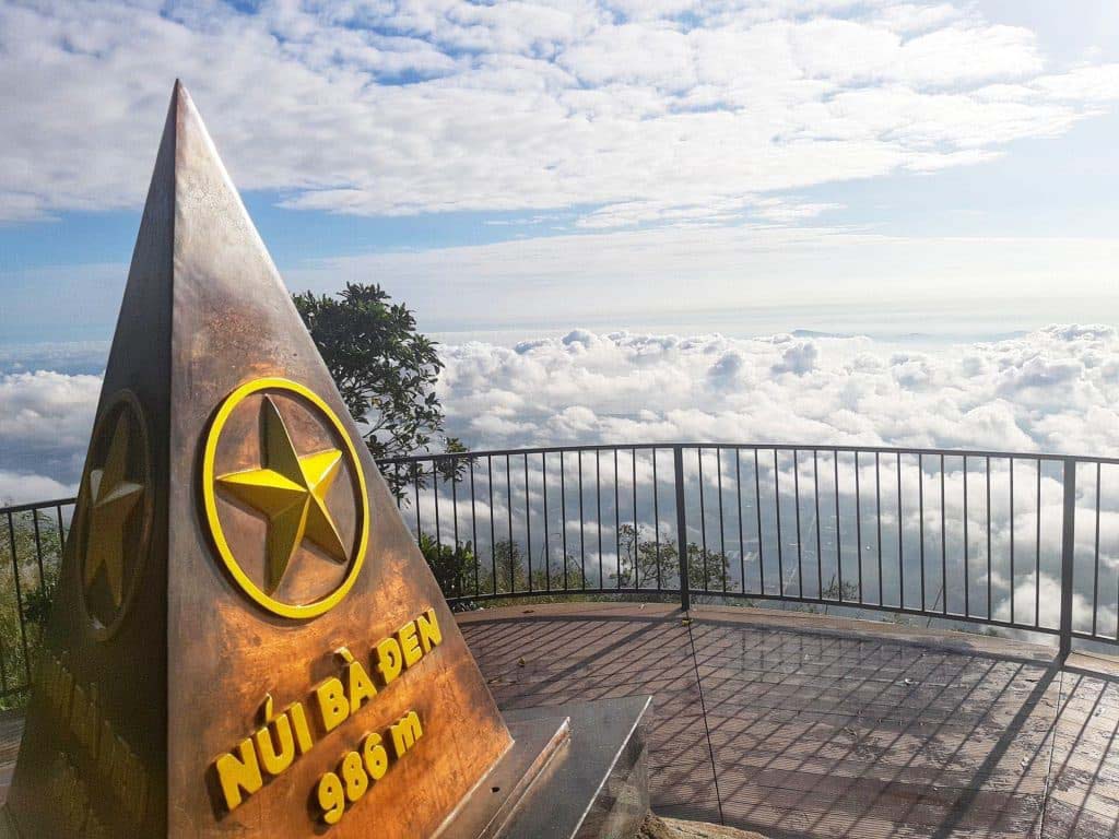
Ba Den Mountain is the roof of Southern Vietnam
There are many trekking routes to reach the top of Ba Den mountain that you can choose with increasing difficulty:
-
Temple road up the mountain: This is also the easiest route to follow and has many stops so you can rest and buy food and drinks. You just need to be in good health, a good pair of shoes and enough energy.
-
Road along the electric pole: You just need to follow the trail and some parts have to go through the forest. This road is not too difficult, but there are not many shops along the road. You need to prepare enough water and food to stay energized throughout the journey.
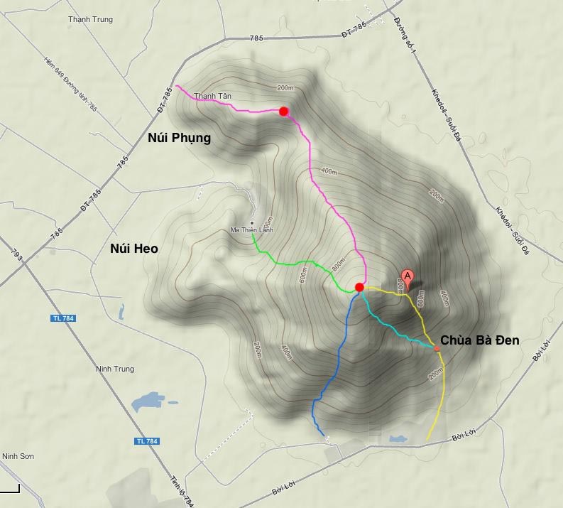
Some routes to the top of Ba Den mountain
-
Road along the water pipe: Initially this road will coincide with the pagoda road, then there is a quite dangerous part of the water pipe swing. You will have to overcome dangerous slopes afterwards. You need to have climbing experience and hire a guide to go with you.
-
Ma Thien Lanh Valley Trail: This is a trail that requires you to have really good physical strength and many years of climbing experience. You need to bring a lot of items and food to climb the mountain for 2 days. You need a guide.
-
Phung Mountain Road and Ho Chi Minh Road: These two roads have equal difficulty. There are quite a few trekking groups that choose this route because there are too many challenges.
-
White Rock Road: This is a route discovered by a group of professional climbers and very few people have conquered it. You have to jump between rocks, swing on cliffs and climb steep slopes.
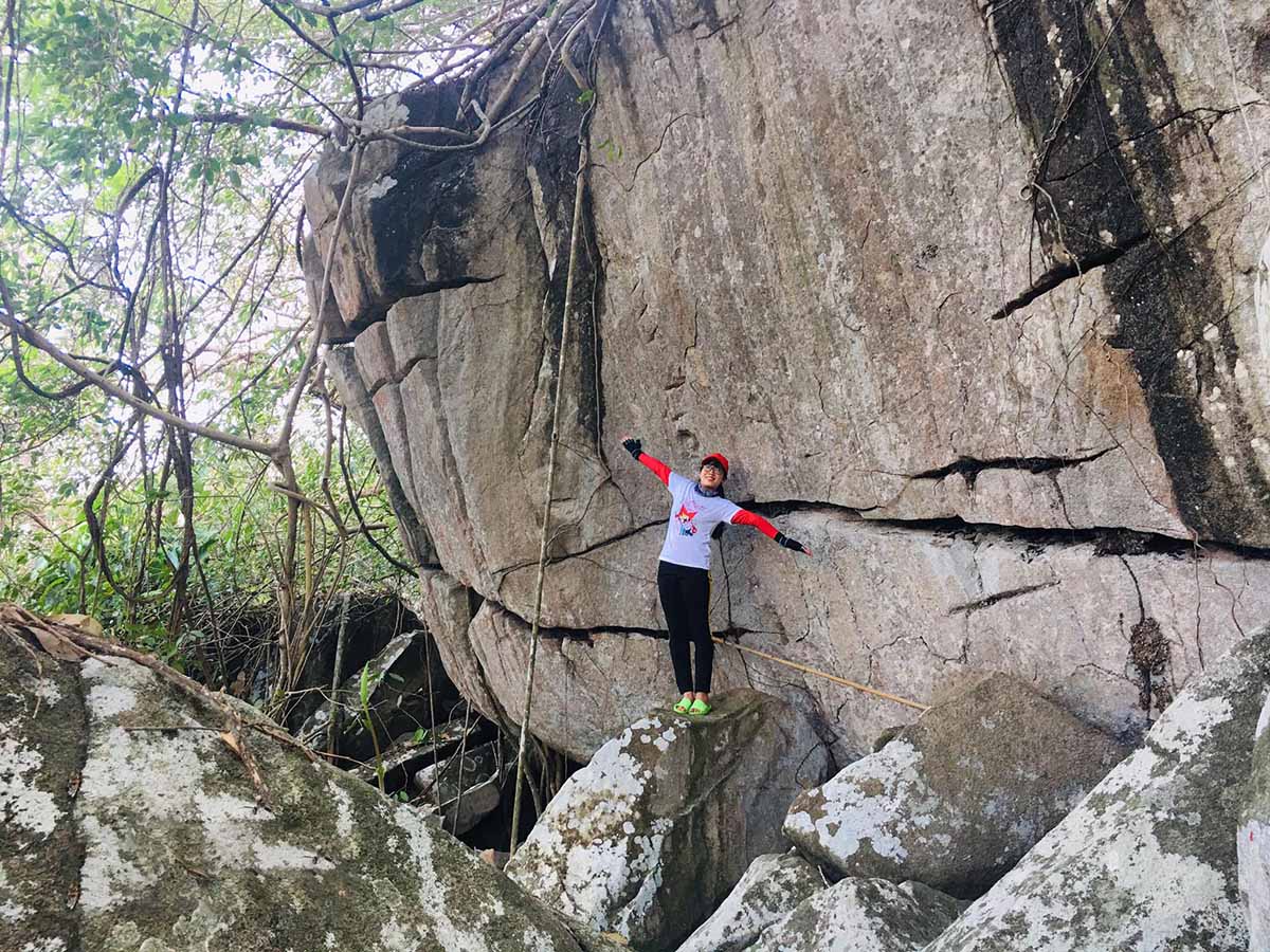
There are many routes to conquer the top of Ba Den mountain
Bu Gia Map National Park
-
Address: Phu Nghia Ward, Bu Gia Map District, Binh Phuoc
Bu Gia Map National Park is located 190km north of Ho Chi Minh City center. It is a combination of immense green mountains and forests, clear gurgling streams and majestic waterfalls.
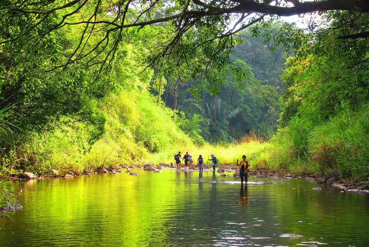
Beautiful scenery in Bu Gia Map National Park
Scenic hiking is a popular activity here, with the forest running along the Cambodian border. When you come to Bu Gia Map, you will have the opportunity to explore more than 400 animal species and nearly 700 diverse plants.
There are two routes that you can choose from:
-
Dak Ka Stream - Luu Ly Waterfall: It will take you about 2 days to conquer this route.
-
Gieng Troi - Dak Bo Waterfall: It will take you about 3 days to conquer this route.
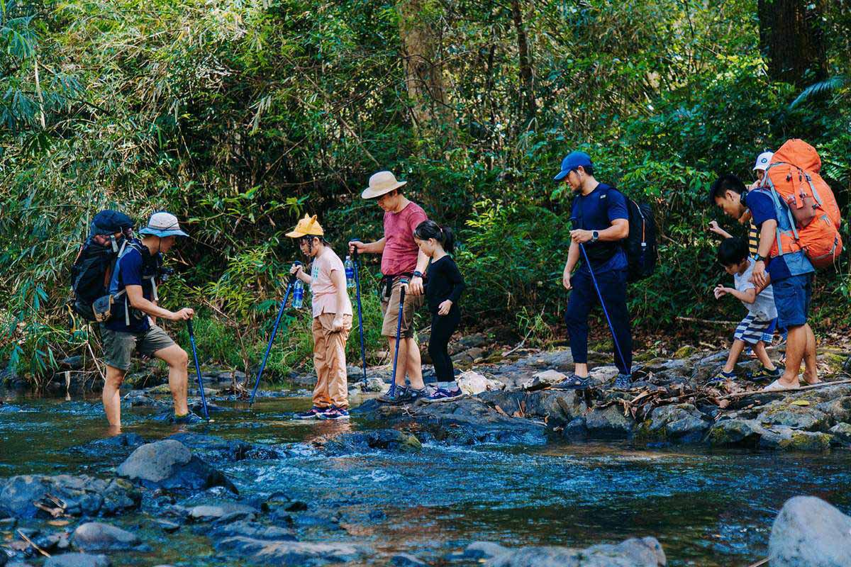
Bu Gia Map National Park has a vibrant ecosystem
Ta Cu Mountain
-
Address: Thuan Nam Town, Ham Thuan Nam District, Binh Thuan
Ta Cu Mountain in Binh Thuan province is located 150km east of Ho Chi Minh City. With an altitude of 649m above sea level, Ta Cu Mountain is considered an ideal climbing terrain for those who love this subject. This mountain is a complex including Linh Son Truong Tho Pagoda, Long Doan Pagoda and To Cave.
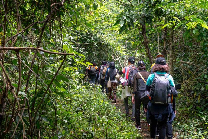
Tourists are hiking through the green forest path
The route to conquer this mountain is not too difficult, but it requires good health. You will be hiking through a forest road more than 2500m long with more than 1000 stone steps. When you reach Noc Tru Peak, you will be able to take in the panoramic view of Binh Thuan from afar. The trekking journey to the top of the mountain can last up to 1 day.
Dinh Mountain
-
Address: Tan Thanh District, Ba Ria - Vung Tau
Dinh Mountain is in Ba Ria - Vung Tau province, about 87km southeast of Ho Chi Minh City. This is an ideal place for new mountain climbers because the path is quite easy, the highest peak of the mountain is only about 500m.
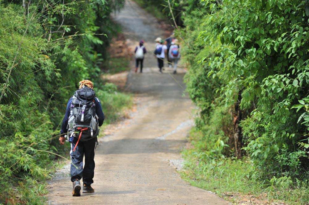
Dinh Mountain is a hiking spot through the forest and has streams to explore
This place is loved by hikers because of its lush green plant ecosystem, small streams, and trails passing through pagodas such as Hang Mai, Su Tanh, and Hang To Pagoda.
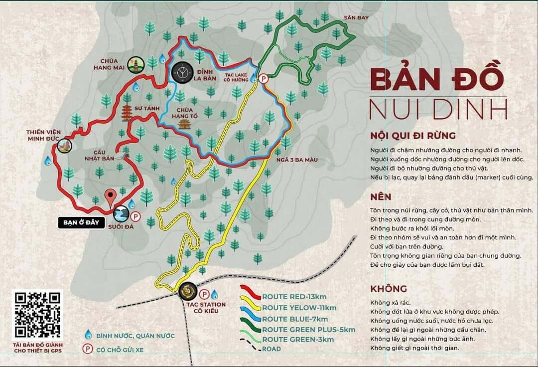
Map to explore Dinh Mountain
You can choose many different routes to conquer La Ban Peak. The easiest way is to start from Tac Station and follow the right-hand road to Tac Lake then continue on the red road to reach the top of La Ban.
If you want to explore all the places on Dinh Mountain, start from Tac Lake and follow the directions to the three-color intersection. Then visit Hang To Pagoda, Su Tanh, Suoi Da, Minh Duc Zen Monastery, Hang Mai Pagoda and finally La Ban Peak.
Chua Chan Mountain
-
Address: Gia Ray Town, Xuan Loc District, Dong Nai
Chua Chan Mountain also known as Gia Lao Mountain is located about 105km east of Ho Chi Minh City. This mountain has an altitude of 835m and it is a beautiful location for hiking, sightseeing and camping.
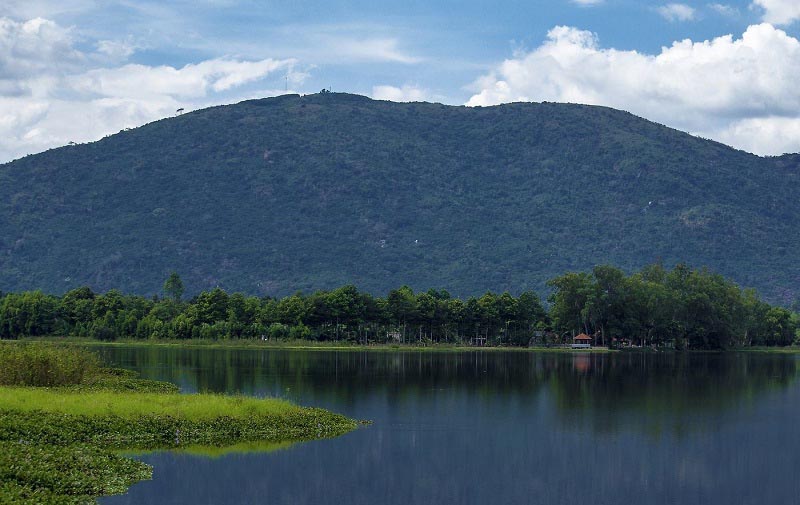
Chua Chan Mountain is the second highest mountain in Southeast Vietnam
There are two routes to the top of the mountain that you can choose from. One is the road along the electricity pole. The starting point is electric pole 20 and the last electric pole is 145. This road is quite easy to follow and you don't have to worry about getting lost. The scenery on both sides of the road is considered quite beautiful and if you want to camp overnight, this road is very suitable.

The road is beautiful and quite easy to follow
Or if you want to challenge yourself, choose the path through the temple. This is a difficult, long route and it is easy to get lost if no one guides you. Even though it has stairs, I think it will be easier to walk, but if you walk a long distance, it will be super tiring.
To gain more insights, navigate to our post about hiking in Vietnam!
We have introduced the 5 best hiking trails near Ho Chi Minh City for you. Choose a route that suits your ability and go with a guide to ensure safety. If you want to know more about places and travel programs in Vietnam, contact the NEW team now.


